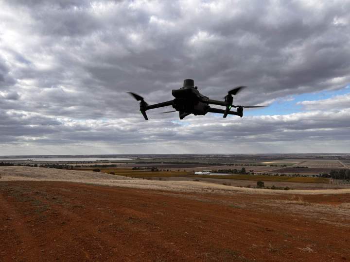
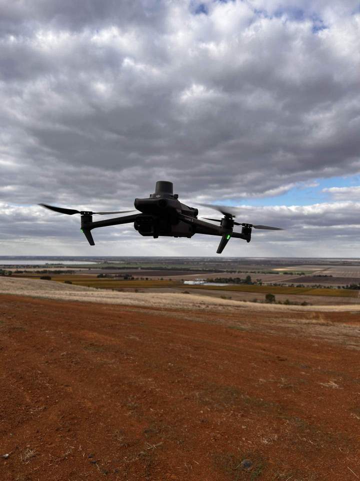
Aerial Surveys in Bendigo
5D Surveying Pty Ltd provides precise and efficient aerial surveying services to meet your project needs. Contact us for precise and innovative surveying solutions on 1300 470 700
Comprehensive Aerial Surveying Services
At 5D Surveying Pty Ltd, we offer a wide range of aerial surveying services designed to provide high-resolution data and detailed insights for your projects.
Our services include surveying, mapping, and volume calculations, as well as geo-referenced orthophotography for accurate and detailed imagery. We specialize in land and vegetation classification using NDVI technology, visual inspections, and creating site visuals and simulations.
These services allow us to capture vast amounts of data quickly and efficiently, covering complex and large projects in a short period of time. Whether you need detailed imagery for analysis or comprehensive mapping for planning, our aerial surveying solutions deliver the accuracy and detail you require.
High-Resolution Data from Above

- Land Development
- Construction Surveying
- Engineering Surveying
- Aerial Surveys
- Drone Spraying & Spreading
- Expertise and Experience
- Advanced Technology
- Customer-Centric Approach
- Bendigo
- Shepparton
- Echuca
- And everywhere in between
Versatile and Efficient Project Tracking
Aerial surveys are an invaluable tool for safely tracking the progress of your projects without interfering with ground work. By capturing extensive survey data and imagery over large areas, we provide a comprehensive view of your site, from a few hectares to hundreds of square kilometres.
Our aerial surveys enable efficient reporting of quantities and conformance, helping you ensure your project stays on track and meets all specifications.
The high accuracy of our surveys offers a single point of truth and reference, making it easier to make informed decisions and maintain project integrity. With 5D Surveying Pty Ltd's aerial solutions, you gain a reliable, cost-effective method to monitor and manage your projects from start to finish.
Monitor Progress and Ensure Accuracy

