
Aerial Surveys Heathcote
Drone Mapping & Aerial Surveys in Heathcote
Our aerial surveys give Heathcote landowners, builders and managers an accurate picture of their site without anyone walking a metre of it. Each flight captures high-resolution imagery we process into orthophotos, contours, volume reports and NDVI vegetation maps.
Prefer email? Reach us at quotes@5dsurveying.com.au
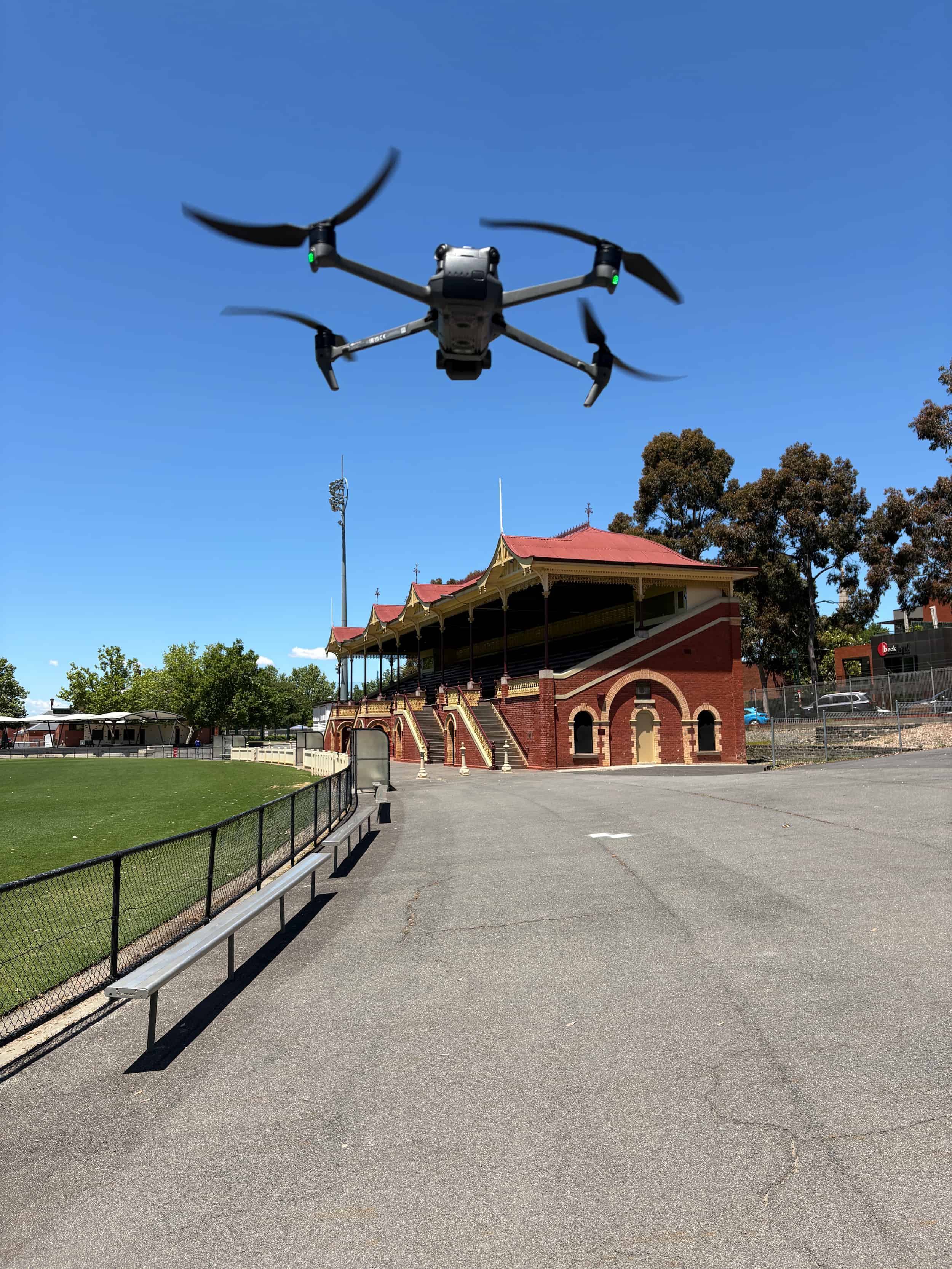
Trusted by builders, developers and councils across central Victoria















What we do
Drone services we bring to Heathcote
- Drone photogrammetry & mapping
- Geo-referenced orthophotography
- Volume calculations
- Contour & topographic mapping
- NDVI vegetation classification
- Visual inspections
- Progress monitoring
- Site visuals & simulations
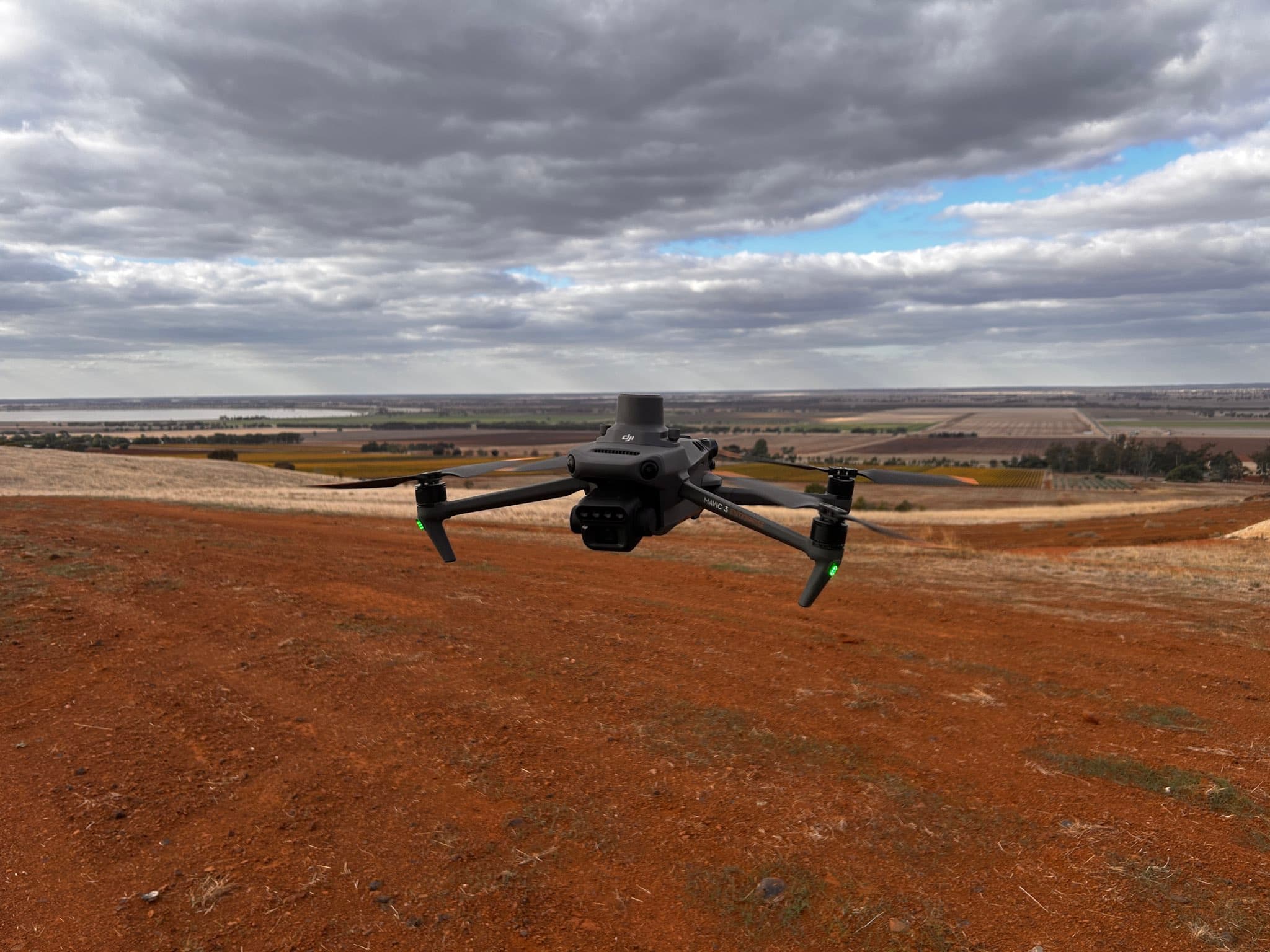
Aerial capture built for accuracy
Behind every Heathcote drone survey is the same discipline we bring to ground work: planned flights, surveyed control and careful processing. That is what turns overlapping photographs into geo-referenced orthophotos, reliable contours, surface models and volume reports you can design and certify from. NDVI vegetation classification and inspection imagery are available from the same capture, and large volumes of data come back from even a short flight. Accuracy is the difference between imagery and a survey, and we never skip it.
Accuracy is what makes imagery a survey.
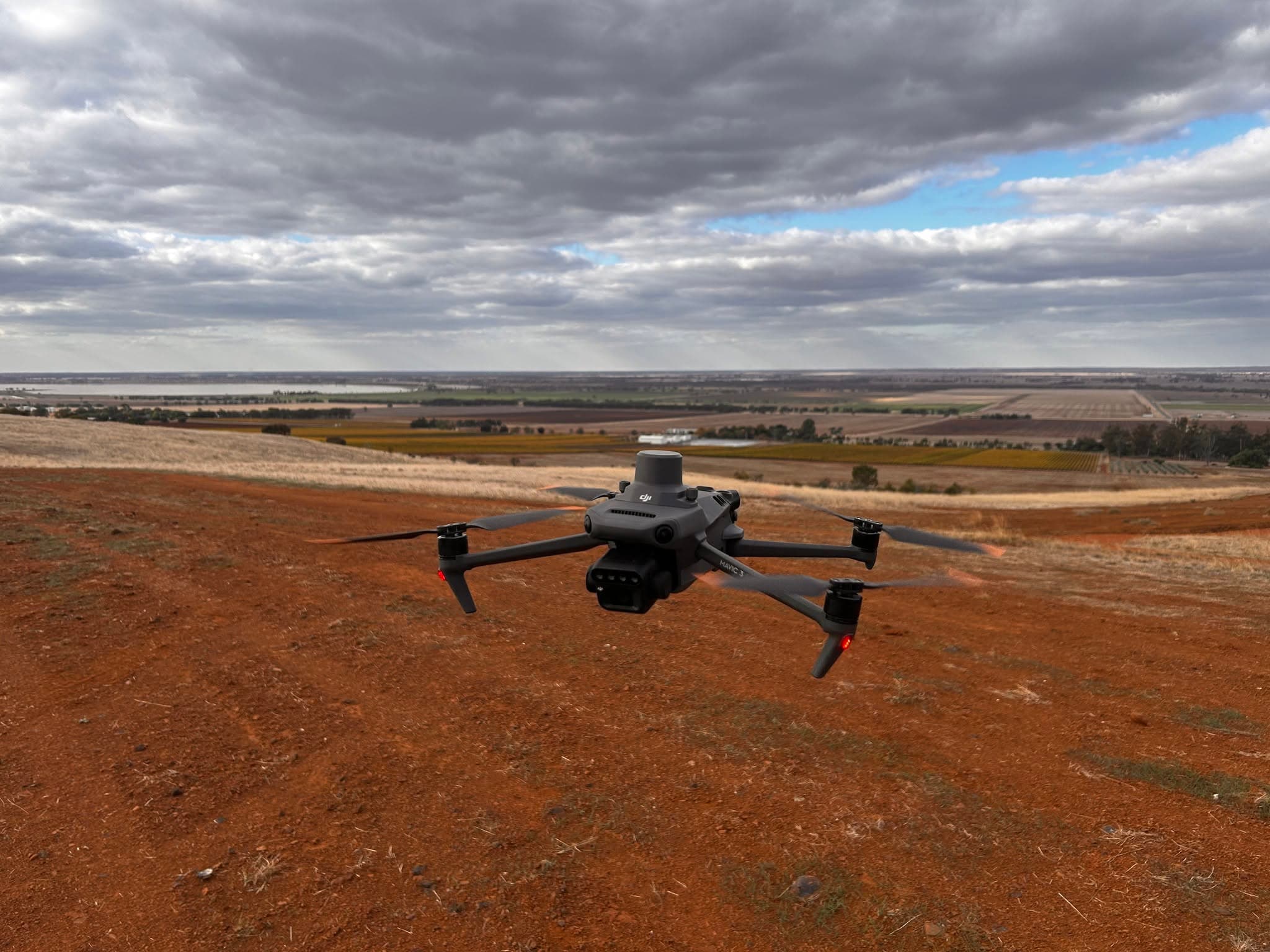
From a few hectares to whole districts
Job size barely changes the method. Whether we are mapping a house block or an area running to hundreds of square kilometres, the flight plan scales and the outputs stay consistent: a comprehensive view of the site, efficient quantity and conformance reporting, and progress imagery that never interrupts work on the ground. Repeat missions across Heathcote and surrounds build records that make planning and reporting straightforward. We answer every quote or query within two days, so it costs nothing to ask whether your job suits aerial capture.
The method scales. The quality does not change.
What you receive
- Geo-referenced orthophotos
- Contour & surface models
- Volume & conformance reports
- NDVI vegetation maps
Areas we service
Surveying Heathcote and the surrounding region
More surveying in Heathcote
Why 5D Surveying
The detail that keeps
projects on track
Expertise and experience
RMIT-qualified surveyors with backgrounds across mining, rail, civil and subdivision projects nationwide. Decades of field experience behind every job.
Advanced technology
Drone photogrammetry, GPS machine control for Trimble, Topcon and Leica, and terrestrial laser scanning, delivering precise, reliable results.
Customer-centric delivery
A site visit guaranteed within 10 days, a quote within 2, and a detailed plan after every single visit. Communication you can plan around.
Reviews
What clients say about working with us
 5.0 from 11 Google reviews
“The 5D Surveying team were very professional and easy to deal with. They completed our surveying brief well within time, delivered on expectations and were very responsive to any questions. I will certainly be using 5D on our next job.”
“We've used 5D for an array of services and no one else compares in terms of quality, proactivity and professionalism. From set outs to drafting As-Builts, they can do it all.”
“5D Surveying impressed us with their clear communication and quick turnaround. Their accurate data made our design process much smoother. We highly recommend them for reliable, efficient surveying.”
“Their 3D machine control models and lidar accuracy revolutionised our workflow. Minimal rework, no downtime waiting on deliverables. A key strategic partner who understands large-scale construction.”
FAQs
Aerial Surveys Heathcote surveying questions
Yes, Heathcote and the surrounding district are part of our everyday service area. Call 1300 470 700 and we will have a quote back within two days.
As much as the job needs. We plan flights over anything from a house block to hundreds of square kilometres, merging larger captures into a single dataset.
Common outputs include orthophotos, DWG contours and surfaces, PDF plans, volume reports and NDVI maps. Tell us what software your team uses and we will match it.
It maps plant health across your land. Multispectral imagery picks up differences in vigour the eye misses, processed into a colour-coded map that guides where attention is needed.
Aerial Surveys Heathcote
Ready to get started?
Tell us about your project and we'll come back with a quote within two days.