
Land Surveyor Castlemaine
Land Surveying in Castlemaine
Getting the ground right is the cheapest insurance a project can buy. Our team provides feature and level surveys, boundary re-establishment and subdivision surveying throughout Castlemaine and surrounds, producing precise, easy-to-use plans that give designers, builders and owners full confidence in what they are working with.
Prefer email? Reach us at quotes@5dsurveying.com.au
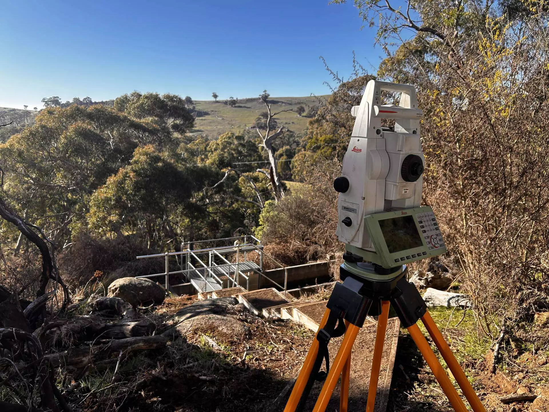
Trusted by builders, developers and councils across central Victoria















What we do
Our land surveying work in Castlemaine
- Feature (detail) surveys
- Topographic & contour surveys
- Site analysis plans
- Title re-establishment surveys
- Boundary setouts
- AHD finished floor level & TBM certification
- Flood level surveys
- Footing & house setouts
- Subdivisions
- Underground service mapping
Feature surveys that capture everything
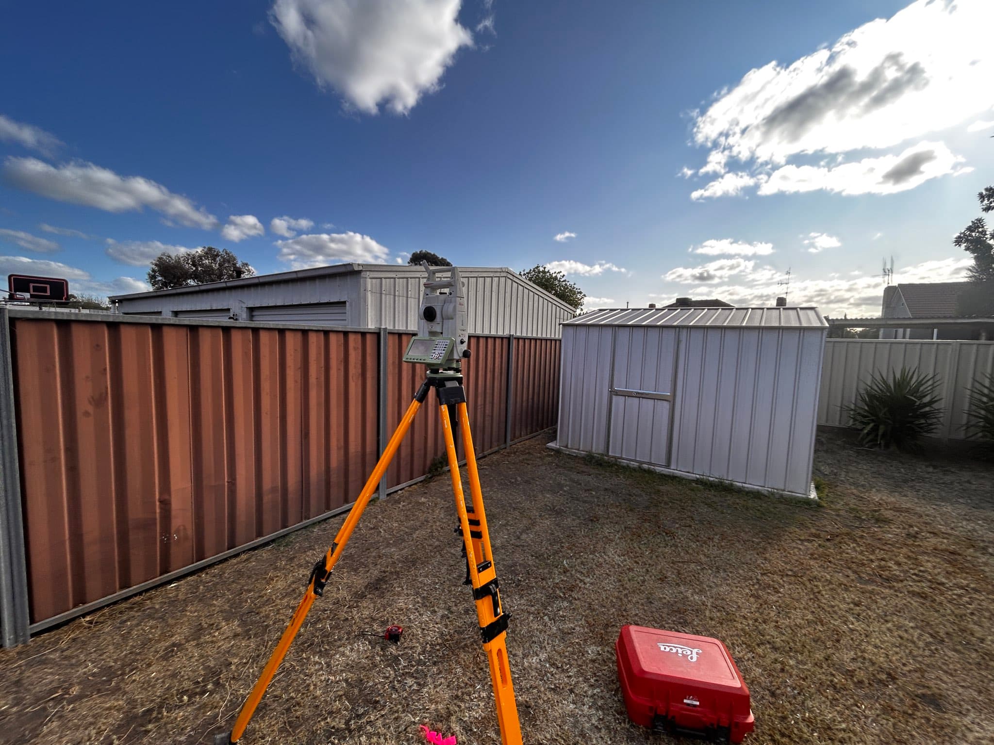
Our feature surveys leave nothing to assumption. We record how the land falls, where every building, tree and fence sits, which easements cross the title and where the visible services run, including drainage and communication pits and electrical assets. Street levels and adjoining structures are included whenever they bear on the design. From that fieldwork we produce AutoCAD (DWG) and PDF plans that carry all the information a designer, engineer or council assessor needs. It is the foundation document for building, extending or subdividing in Castlemaine, and we prepare it to be used, not deciphered.
Capture it once, capture it properly.
Technology backed by proven method
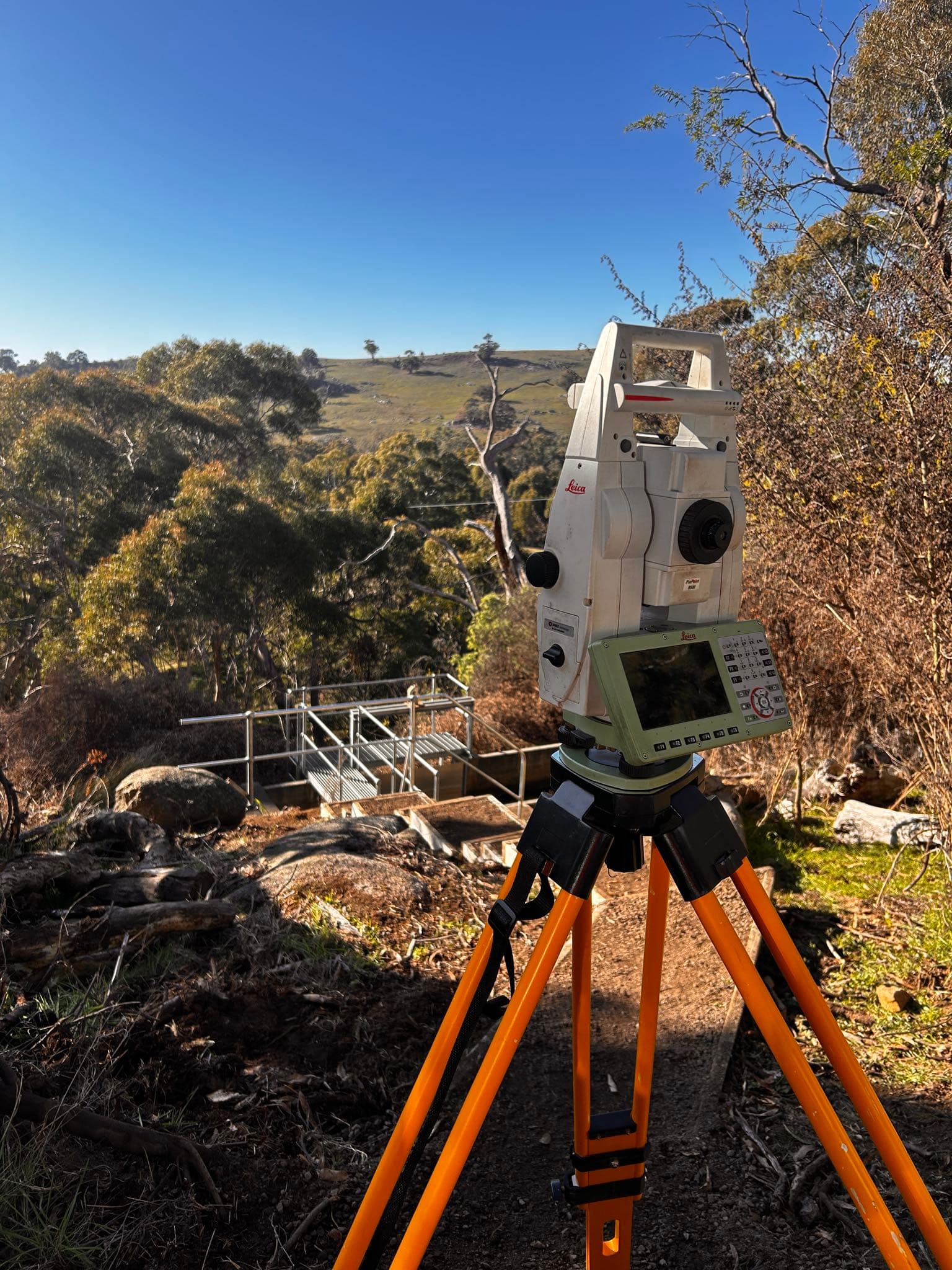
Measurement technology has come a long way, and we use the best of it: survey-grade GNSS receivers and robotic total stations, run by surveyors who check their work as a matter of course. The benefit to you is twofold. First, accuracy: boundaries, contours and levels you can rely on when the excavator arrives. Second, value: capturing complete, correct data on the first visit keeps fees sensible and avoids the cost of rework later. Add a quote answered within two days and a guaranteed site visit within ten, and surveying stops being the bottleneck in your project.
Proven methods, modern tools.
What you receive
- AutoCAD Plan and Surface file (DWG)
- PDF Plans and associated aerial imagery
- Certificate of Survey or Letter if required
- Contours at 0.2m intervals or custom
Areas we service
Surveying Castlemaine and the surrounding region
More surveying in Castlemaine
Why 5D Surveying
The detail that keeps
projects on track
Expertise and experience
RMIT-qualified surveyors with backgrounds across mining, rail, civil and subdivision projects nationwide. Decades of field experience behind every job.
Advanced technology
Drone photogrammetry, GPS machine control for Trimble, Topcon and Leica, and terrestrial laser scanning, delivering precise, reliable results.
Customer-centric delivery
A site visit guaranteed within 10 days, a quote within 2, and a detailed plan after every single visit. Communication you can plan around.
Reviews
What clients say about working with us
 5.0 from 11 Google reviews
“The 5D Surveying team were very professional and easy to deal with. They completed our surveying brief well within time, delivered on expectations and were very responsive to any questions. I will certainly be using 5D on our next job.”
“We've used 5D for an array of services and no one else compares in terms of quality, proactivity and professionalism. From set outs to drafting As-Builts, they can do it all.”
“5D Surveying impressed us with their clear communication and quick turnaround. Their accurate data made our design process much smoother. We highly recommend them for reliable, efficient surveying.”
“Their 3D machine control models and lidar accuracy revolutionised our workflow. Minimal rework, no downtime waiting on deliverables. A key strategic partner who understands large-scale construction.”
FAQs
Land Surveyor Castlemaine surveying questions
The levels and contours of your block plus buildings, trees, fences, easements, visible services and any neighbouring detail that affects design, all presented on clear plans.
No. Council and Land Use Victoria both require accurate boundary and feature information before a plan of subdivision can proceed. We provide the full survey package.
AutoCAD (DWG) and PDF plans with contours at 0.2 metre intervals or to your specification, levels, boundaries and easements, plus certificates or letters where your project needs them.
Yes, Castlemaine is firmly inside our service area. Quotes and queries are answered within two days and we guarantee a site visit within 10.
Land Surveyor Castlemaine
Ready to get started?
Tell us about your project and we'll come back with a quote within two days.