
Land Surveyor Maryborough
Land Surveying in Maryborough
Good surveying pays for itself before the slab is even poured. Across Maryborough and surrounds we deliver feature and level surveys, boundary re-establishment, subdivision surveying and house setouts, giving every project, from a first home to a multi-lot development, an accurate and dependable starting point.
Prefer email? Reach us at quotes@5dsurveying.com.au
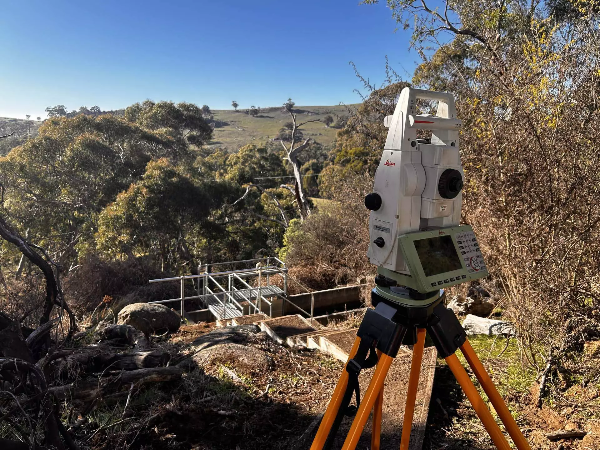
Trusted by builders, developers and councils across central Victoria















What we do
What we survey in Maryborough
- Feature (detail) surveys
- Topographic & contour surveys
- Site analysis plans
- Title re-establishment surveys
- Boundary setouts
- AHD finished floor level & TBM certification
- Flood level surveys
- Footing & house setouts
- Subdivisions
- Underground service mapping
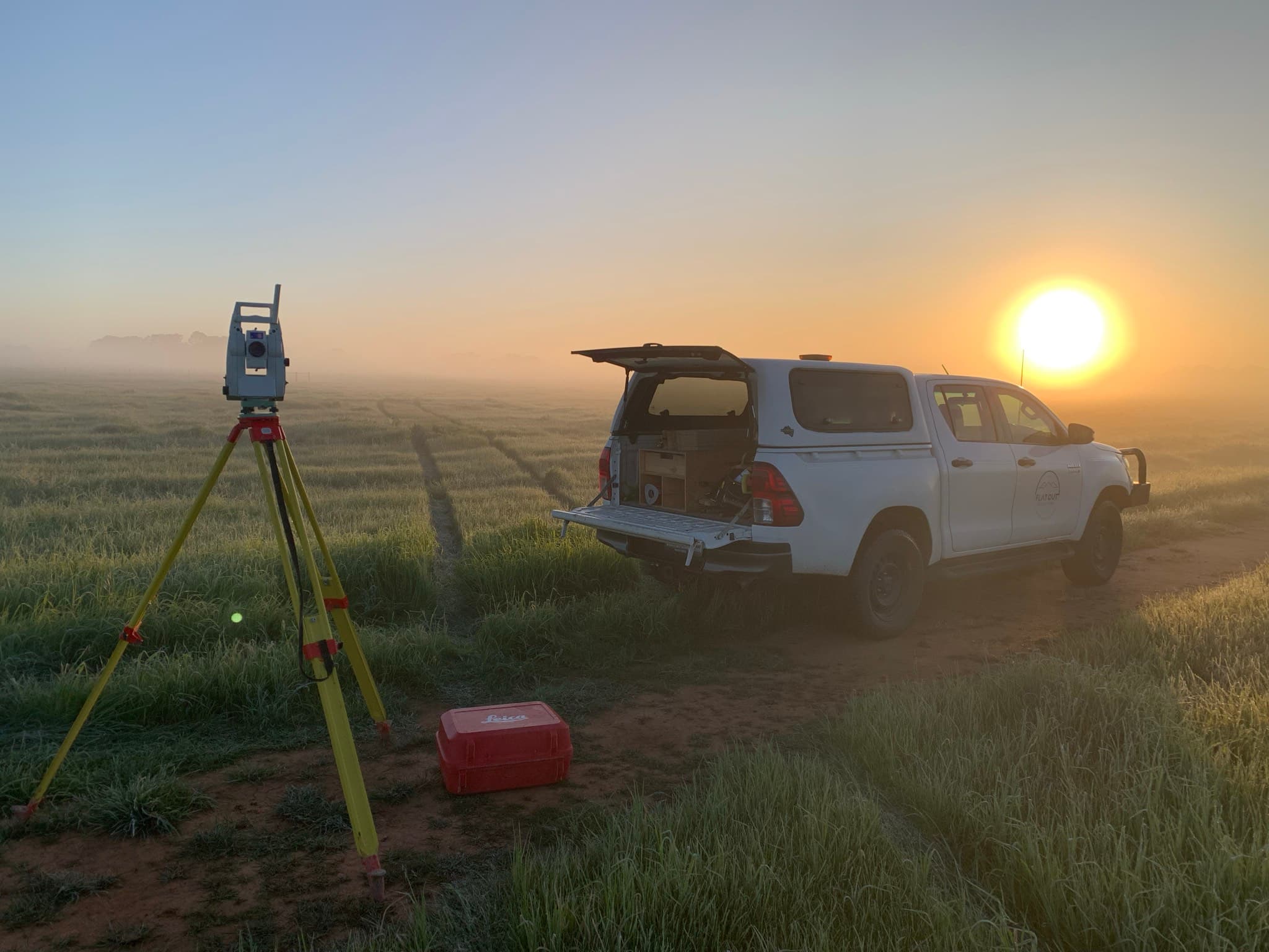
Every site detail, measured and mapped
Every reliable design starts from a reliable base plan, and that is what our feature and level surveys provide. We capture the shape of the land in levels and contours, locate structures, trees, fences and easements, and note the services a builder needs to know about, from drainage pits to power. Where the street or the neighbours affect your plans, that detail is recorded as well. You receive AutoCAD (DWG) and PDF drawings prepared for your designer or engineer, so a project in Maryborough can move from idea to application without the guesswork.
Measured once, trusted throughout the build.
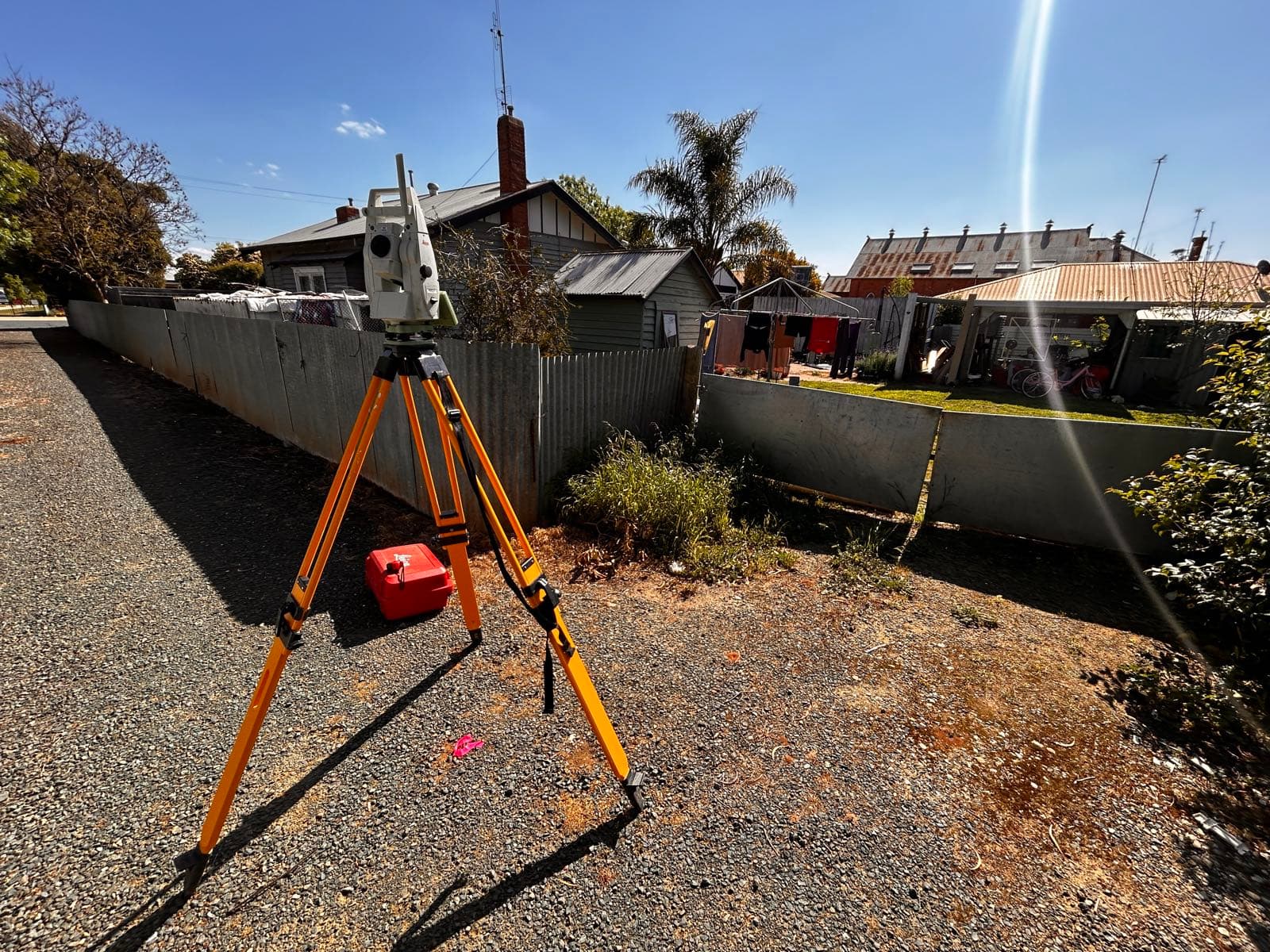
The right tools for reliable results
Accuracy and affordability are usually presented as a trade-off. Done properly, they are the same thing. Using survey-grade GNSS and robotic total stations, we capture precise, complete data in a single well-planned visit, which keeps our fees competitive and your programme intact. Precise boundaries prevent disputes, correct levels prevent drainage problems and careful setouts prevent expensive corrections. That is why builders and developers doing land surveying in Maryborough come back to us job after job: the numbers are right, the plans are clear and the quote arrives within two days.
The right tool for every site.
What you receive
- AutoCAD Plan and Surface file (DWG)
- PDF Plans and associated aerial imagery
- Certificate of Survey or Letter if required
- Contours at 0.2m intervals or custom
Areas we service
Surveying Maryborough and the surrounding region
More surveying in Maryborough
Why 5D Surveying
The detail that keeps
projects on track
Expertise and experience
RMIT-qualified surveyors with backgrounds across mining, rail, civil and subdivision projects nationwide. Decades of field experience behind every job.
Advanced technology
Drone photogrammetry, GPS machine control for Trimble, Topcon and Leica, and terrestrial laser scanning, delivering precise, reliable results.
Customer-centric delivery
A site visit guaranteed within 10 days, a quote within 2, and a detailed plan after every single visit. Communication you can plan around.
Reviews
What clients say about working with us
 5.0 from 11 Google reviews
“The 5D Surveying team were very professional and easy to deal with. They completed our surveying brief well within time, delivered on expectations and were very responsive to any questions. I will certainly be using 5D on our next job.”
“We've used 5D for an array of services and no one else compares in terms of quality, proactivity and professionalism. From set outs to drafting As-Builts, they can do it all.”
“5D Surveying impressed us with their clear communication and quick turnaround. Their accurate data made our design process much smoother. We highly recommend them for reliable, efficient surveying.”
“Their 3D machine control models and lidar accuracy revolutionised our workflow. Minimal rework, no downtime waiting on deliverables. A key strategic partner who understands large-scale construction.”
FAQs
Land Surveyor Maryborough surveying questions
A full measured picture of your site: contours and levels, buildings, trees, fences, easements, visible services and any adjoining detail that matters to the design.
Yes. Accurate boundary and feature surveying underpins the plan of subdivision and the approvals from council and Land Use Victoria. We supply all of it.
AutoCAD (DWG) and PDF plans, contours at 0.2 metre intervals or as specified, levels to AHD or an arbitrary datum, and certification letters where required.
Yes, Maryborough is part of our core service area. We answer quotes within two days and guarantee to be on site within 10.
Land Surveyor Maryborough
Ready to get started?
Tell us about your project and we'll come back with a quote within two days.