
3D Laser Scanning Maryborough
3D Laser Scanning for Maryborough
Complex buildings, industrial plant and detailed facades are all documented faster and more completely by scanning than by hand. We capture them across Maryborough and surrounds and deliver the point cloud, model or drawings your project runs on.
Prefer email? Reach us at quotes@5dsurveying.com.au
Trusted by builders, developers and councils across central Victoria












What we do
3D laser scanning services in Maryborough
- Terrestrial (static) laser scanning
- Registered 3D point clouds
- As-built & as-constructed models
- BIM-ready deliverables (Revit, IFC)
- Heritage & facade documentation
- Internal & tank volume surveys
- Clash detection & verticality checks
- Structural & movement monitoring
- 2D plans, sections & elevations from scan data
Complete capture of complex spaces
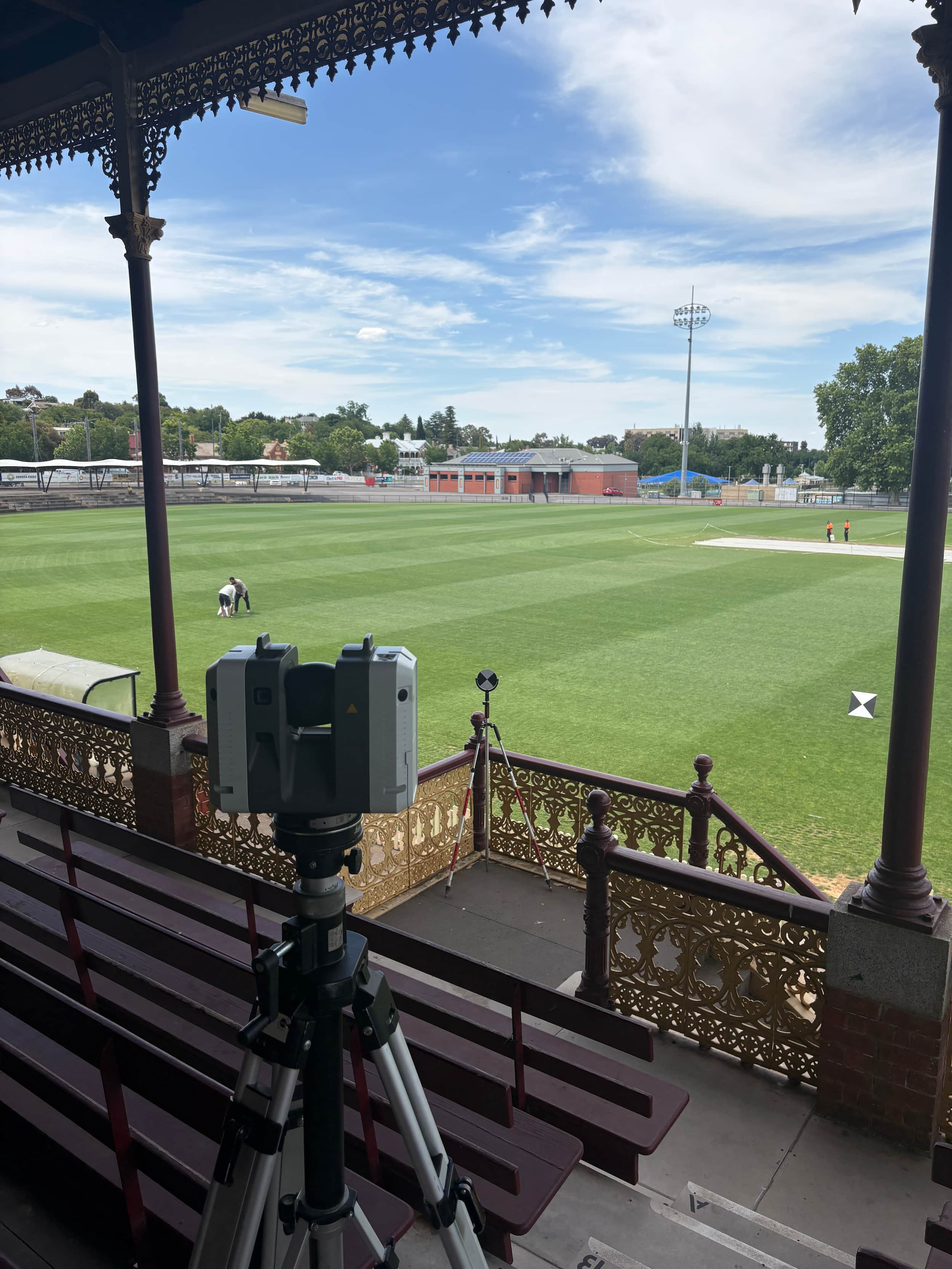
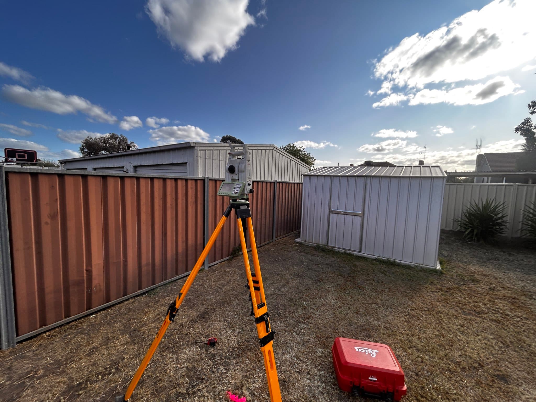
Plant rooms, workshops, structural frames and detailed interiors are the spaces where manual measurement takes longest and delivers least. Scanning records them completely from a series of tripod setups, capturing services, structure, penetrations and clearances that would otherwise be sampled at best. On Maryborough sites we register every scan to survey control, so the point cloud can be combined with other survey data and used for coordination rather than sitting apart from the rest of the project information.
Complete, not sampled.
Models and drawings your team can build from
We produce BIM-ready models in Revit or IFC, as-built and as-constructed models, and 2D plans, sections and elevations traced from the registered cloud. Facade and heritage documentation is handled the same way, capturing architectural detail without contact. Where a Maryborough project needs conformance or coordination outputs, clash detection and verticality checks come from the same dataset, and point clouds are supplied in E57, RCP or LAS for your own software.
Built from measurement, not interpretation.
What you receive
- Registered 3D point cloud (e.g. RCP, E57, LAS)
- BIM / as-built model (Revit, IFC)
- 2D plans, sections & elevations
- Volume reports & monitoring comparisons
Areas we service
Surveying Maryborough and the surrounding region
More surveying in Maryborough
Why 5D Surveying
The detail that keeps
projects on track
Expertise and experience
RMIT-qualified surveyors with backgrounds across mining, rail, civil and subdivision projects nationwide. Decades of field experience behind every job.
Advanced technology
Drone photogrammetry, GPS machine control for Trimble, Topcon and Leica, and terrestrial laser scanning, delivering precise, reliable results.
Customer-centric delivery
A site visit guaranteed within 10 days, a quote within 2, and a detailed plan after every single visit. Communication you can plan around.
Reviews
What clients say about working with us
 5.0 from 11 Google reviews
“The 5D Surveying team were very professional and easy to deal with. They completed our surveying brief well within time, delivered on expectations and were very responsive to any questions. I will certainly be using 5D on our next job.”
“We've used 5D for an array of services and no one else compares in terms of quality, proactivity and professionalism. From set outs to drafting As-Builts, they can do it all.”
“5D Surveying impressed us with their clear communication and quick turnaround. Their accurate data made our design process much smoother. We highly recommend them for reliable, efficient surveying.”
“Their 3D machine control models and lidar accuracy revolutionised our workflow. Minimal rework, no downtime waiting on deliverables. A key strategic partner who understands large-scale construction.”
FAQs
3D Laser Scanning Maryborough surveying questions
Anything detailed, congested or irregular: plant rooms, workshops, structural frames, complex interiors, facades and heritage buildings.
Yes. We supply BIM-ready models in Revit or IFC, and point clouds in RCP and other formats that import directly into your software.
Yes. Every scan is registered to survey control, so the point cloud sits correctly in space and combines with other survey data on the project.
Yes. Maryborough is part of our core service area, with site visits guaranteed within 10 days and quotes and queries answered within two.
3D Laser Scanning Maryborough
Ready to get started?
Tell us about your project and we'll come back with a quote within two days.